The United Nations General Assembly has voted overwhelmingly to urge governments, schools, and global technology firms to abandon traditional maps that make Africa appear significantly smaller than its actual geographic footprint.
Member States endorsed a landmark resolution promoting map projections that accurately reflect the relative sizes of the continents, following an African-led campaign against the ubiquitous 16th-century Mercator projection.
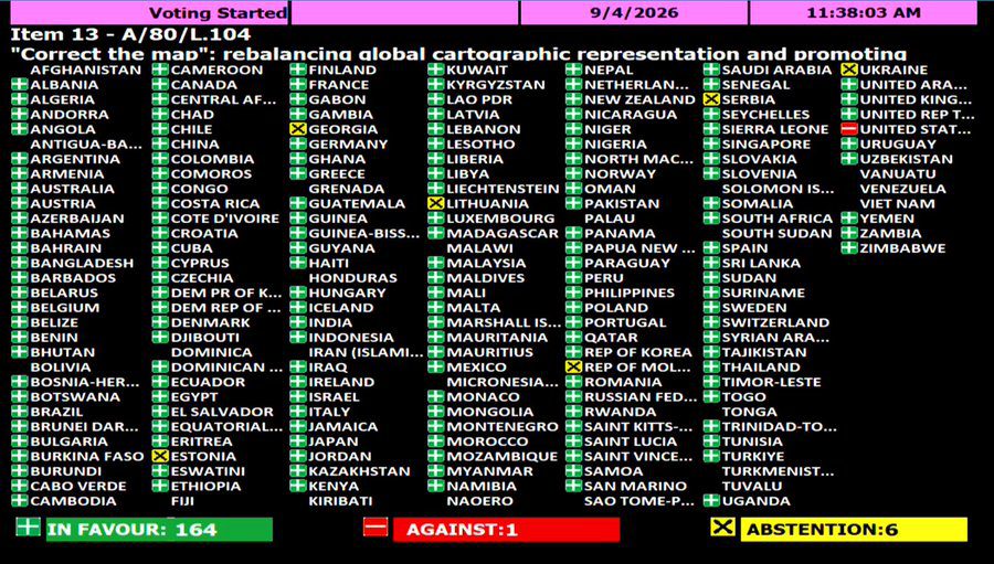
The historic measure passed by 164 votes to one on Friday, dealing a major blow to the widespread use of century-old cartographic representations.
The United States cast the sole negative vote, dismissing the diplomatic initiative as part of a radical ideological project.
Meanwhile, Estonia, Georgia, Lithuania, Moldova, Serbia, and Ukraine chose to abstain from the proceedings.
Although the resolution stops short of banning the Mercator projection or imposing a mandatory replacement, it urges international organisations and commercial platforms to adopt equal-area alternatives such as the Equal Earth projection.
It further calls on educational systems worldwide to better explain the inherent geometric limitations of depicting a spherical planet on flat surfaces when teaching geography.

By: Rainbowradioonline.com/Ghana